Gas pipeline network geographic information system (GIS)
Get In Touch →Geographic Information System (GIS) for Gas Pipe Networks
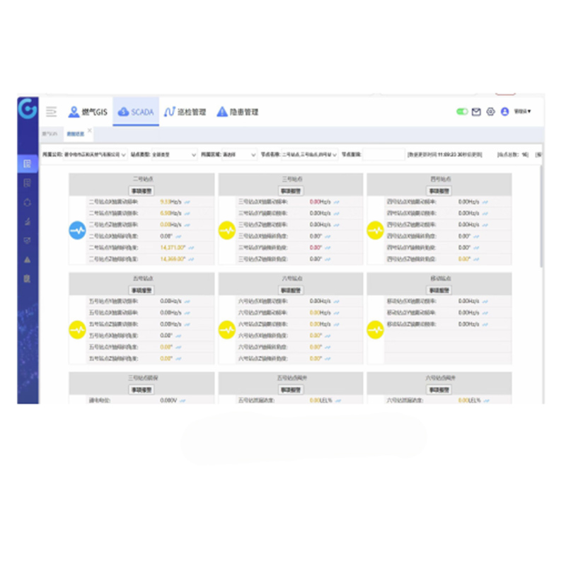
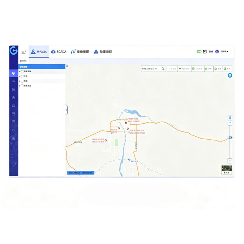
It is a digital management platform built by gas enterprises based on geographic information technology. It is mainly used for the full-life-cycle management of gas pipe networks and affiliated facilities, covering functions such as data collection, storage, analysis, visualization and decision support. As a core tool for gas enterprises to realize digital and intelligent management of pipe networks, it deeply integrates spatial data with business data to solve pain points in traditional management such as "fragmented data, delayed response and experience-dependent decision-making". It serves as an important technical support for ensuring the safe supply of gas and improving service quality.